Pakistan Floods Punjab 2025: Latest Updates, Impact & Relief Efforts
The recent wave of heavy rains and water releases from Indian dams has pushed Punjab’s rivers to dangerous levels. Authorities continue to issue warnings using terms like medium, high, very high, and exceptionally high floods. But for many people affected by Pakistan floods Punjab, these terms can feel confusing. What do they actually mean? And why do they matter so much for communities living along the rivers?
What Do the Flood Terms Mean?
Flood levels are measured in cusecs, short for “cubic feet per second.” One cusec equals the flow of about 28 liters of water every second. To put that into perspective, a flow of 100,000 cusecs means nearly 283,000 liters of water rushing past in just one second.
This week, the Ravi River at Jassar recorded 229,000 cusecs at one stage, far beyond its safe carrying capacity. That is why officials declared it in a “very high flood” state. Such measurements show how rivers in Punjab can quickly reach dangerous levels during monsoon rains.
Medium, High, and Exceptionally High Floods
The difference between these flood categories comes down to river capacity and infrastructure limits.
- Medium flood means the river is still within its limits but under pressure.
- High flood suggests water has exceeded normal levels, threatening nearby villages, farmland, and riverbanks.
- Very high flood places extreme stress on the system, where engineers might need to open canals or even breach embankments to reduce damage.
- Exceptionally high flood is the most severe stage, when flows are far beyond what the river and its barrages were designed to handle. At this point, critical infrastructure and thousands of people are at risk.
For those living along Punjab’s rivers, these categories are not just numbers — they are warnings of what may come in the next few hours or days.
Why River Capacity Matters?
Not all rivers can hold the same amount of water. Smaller rivers like the Ravi and Sutlej reach critical levels much quicker. For them, even 200,000 cusecs can be labeled a “very high flood.”
On the other hand, larger rivers like the Chenab and the Indus have greater capacity. At Head Marala, the Chenab swelled to over 750,000 cusecs this week, forcing officials to announce a “very high flood.” Meanwhile, the Indus at Chashma carried 284,000 cusecs but was still below flood levels due to its wider channel.
This difference explains why people in various districts of Punjab face different risks during the same monsoon spell.
Headworks, Barrages, and Emergency Measures
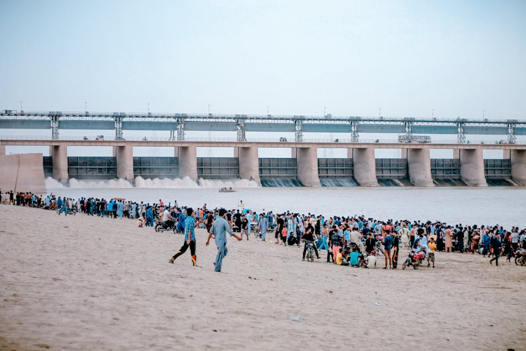
Punjab’s rivers are managed through headworks and barrages. These structures regulate water, divert it into canals, and maintain irrigation levels. Each barrage has a maximum design limit for how much water it can safely handle.
When inflows exceed those limits, engineers open all the gates to release pressure. But in extreme cases, authorities may cut embankments or canals on purpose. This is a painful decision, as it often floods farmland and villages, but it prevents barrages from collapsing and causing far wider destruction.
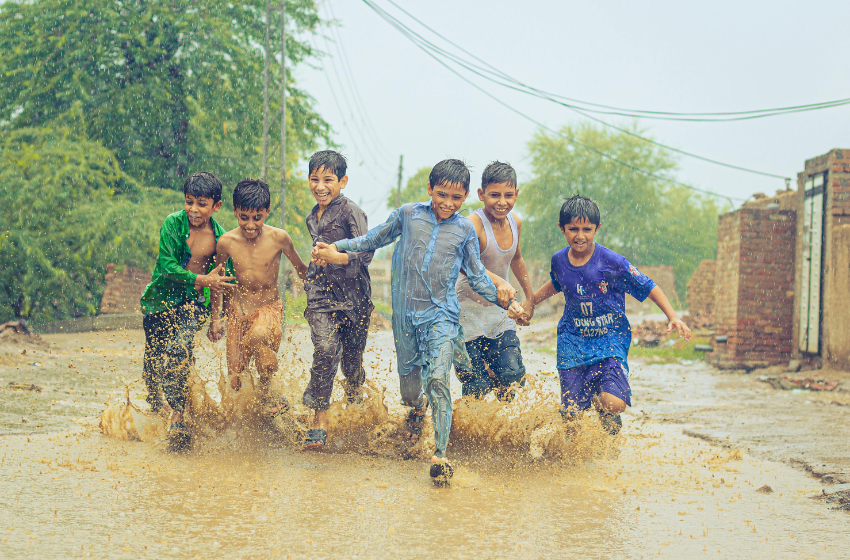
Pakistan Floods Punjab: Human Impact
Behind all these technical terms lies the human tragedy of Pakistan floods Punjab. In districts like Narowal, Kasur, Okara, and Sialkot, thousands of families have been displaced. Farmers have watched helplessly as standing crops drown under water. Roads have been submerged, cutting off small towns and villages from relief supplies.
Rescue teams, including the army and local administration, are using boats to evacuate people from low-lying areas. Shelters are being set up, but the pressure on resources remains high. People are worried about food shortages, loss of homes, and the spread of waterborne diseases.
For many, the words very high flood or exceptionally high flood mean leaving everything behind at a moment’s notice.
Link Between Climate Change and Rising Floods
Experts warn that Pakistan floods Punjab are not just caused by heavy rains or dam releases. Climate change is making monsoon patterns more unpredictable and intense. Glacial melt in the north also adds to river flows during the summer months.
Combined with poor planning, encroachments on riverbeds, and weak flood defenses, the situation becomes even more dangerous. Every year, Punjab faces the same challenges, showing the urgent need for stronger disaster management systems and climate-resilient infrastructure.
Moving Forward
Officials say they are closely monitoring river flows and updating flood alerts regularly. Communities living near rivers are urged to take warnings seriously and move to safer locations when asked.
At the same time, long-term solutions are needed. Strengthening embankments, improving early warning systems, and creating proper drainage channels are vital steps to reduce damage in the future. Public awareness campaigns can also help people understand what flood categories mean and how to respond in time.
Final Thoughts
The technical terms used in flood alerts may sound complicated, but they represent real dangers for millions of people. When we hear about “exceptionally high floods,” it signals a threat not only to villages and farms but also to major infrastructure and lives.
As Pakistan floods Punjab once again, it is clear that both immediate action and long-term planning are essential. Rescues, relief efforts, and community cooperation will help reduce suffering today, while stronger policies and infrastructure can protect the future.